

A researched starting catalog
We combine public sources with original summaries to make Saipan easier to explore. Individual listings identify their sources and research date. This is a growing catalog, not a complete census of businesses, beaches or historical sites.
Source checked ≠ owner claimed
Source checked means we reviewed published information on the date shown. It does not mean we called the business, verified a license or confirmed that it is open today.
Owner claimed means a representative has been approved to manage the page. It does not certify every statement, service or condition at the business.
Business information
First-party business websites provide identity, public contact details and descriptions of services. We also consult the Saipan Chamber of Commerce directory, Marianas Visitors Authority membership directory, HANMI hotel directory and relevant public provider directories. Membership lists cover their members, not every business.
For broader coverage, the CNMI Division of Revenue and Taxation is the starting point for business-license information. We have not imported a complete active-license register. The Office of the Registrar covers registered entities and explicitly excludes sole proprietorships, so its records alone would not establish a complete business list.
Beaches, nature and locations
The 2025 CNMI Shoreline Public Access Guide is a principal source for coastal places, documented access and hazards. Many map points originate in the associated DCRM shoreline StoryMap. That map retains a draft/review title; the published guide is our principal narrative reference.
Points may identify a coastline or viewpoint rather than a car park or trail entrance. They are approximate planning references, not verified navigation endpoints. Suggested visit lengths are editorial estimates. Consult the DLNR marine protected-area information and BECQ beach advisories for additional context and current notices.
The 3D island map
Roads, the coastline and village positions on the island map are © OpenStreetMap contributors, available under the Open Database License. The shape of the land comes from Mapzen Terrain Tiles, built from public elevation surveys including SRTM, GMTED2010 and ETOPO1. Heights are exaggerated so the hills read at a glance, and the colors are painted, not photographed.
Business pins are placed from the listing’s published address using OpenStreetMap search. A pin marked approximate shows the village or street, not the front door. Routes played on the map follow mapped roads to illustrate a day; they are not driving directions, and boat crossings are drawn as straight lines.
History and cultural places
We draw on the National Park Service at American Memorial Park, public historic-preservation material and MVA historic-site information. Historical memorials are places of remembrance. We distinguish documented history from estimated visit times and do not treat every published account as interchangeable.
生活環境、潮位および気候
The live island page reads public data services and names each one beside its readings, with the time of the reading itself: Saipan, right now
- NOAA Aviation Weather Center: observed weather at Saipan, Tinian and Rota airports.
- National Weather Service, Guam: forecasts and official alerts. Each alert is shown whole, as it was issued, with its issue and end times and a link to the official record.
- NOAA CO-OPS, station 1633227 (Tanapag Harbor): 潮位予測は、平均最低低潮位(MLLW)を基準としています。
- NOAA Coral Reef Watch: 人工衛星による海面水温およびサンゴの熱ストレス。
- US Environmental Protection Agency: 毎日の紫外線指数の予報。
- MET Norway (CC BY 4.0): 他の都市の気温。
Every reading is judged by its own age, not by when we fetched it. Airport observations are marked as old after 90 minutes and removed after 3 hours; the forecast after 12 and 24 hours; the surf zone forecast after 14 and 24 hours, or at its own expiry; the sea temperature after 4 and 10 days; modelled waves and other cities’ temperatures after 3 hours, and removed after 12 and 6. A UV forecast is shown for its own day and, marked as old, the day after. A check of official alerts counts for ten minutes of its own age; with the time a copy can wait on the way, a check shown as current is at most about twelve and a half minutes old while the page is open in front of you, which is an estimate and not a guarantee. When alerts have not been checked within that time, or the last check failed or could not be read in full, the page says so and says nothing else about the day.
波高は、ハワイ大学にあるPacIOOSによって提供されるモデル出力であり、以下の謝辞が含まれています:
Data provided by PacIOOS (www.pacioos.org), which is a part of the U.S. Integrated Ocean Observing System (IOOS), funded in part by National Oceanic and Atmospheric Administration (NOAA) Award #NA21NOS0120091.
Monthly averages are NOAA climate normals for Saipan International Airport, 1991–2020, and NOAA Coral Reef Watch monthly sea-surface temperature, 2003–2022. Sunrise, sunset, twilight and the moon are calculated on the page from Saipan’s position. None of this is a marine forecast or a safety service.
島の概要とフライトチャート
The maps in the games, the outlines of the fourteen islands on the island experiences page, and the coastlines behind the flight chart come from open map data:
- © OpenStreetMap contributors: coastline, reef, road and place-name data for the islands, available under the Open Database License.
- saipan-map.json, archipelago.json: our simplified extracts of that data, offered under the same licence.
- Natural Earth: 航空図上の海岸線(パブリックドメイン)。
- Marianas Visitors Authority: 山頂の高さと島の説明。島の面積は輪郭線から計算されています。
フライト、運賃、為替レート
The timetable on the flight page was read from the airport’s own flight board on 2026年11月16日. It is a timetable, not live tracking; each flight is shown only for the dates it is published for, and the board is the live authority. Sources: How far is Saipan?
- Commonwealth Ports Authority flight board
- Marianas Press, 30 October 2026
- Star Marianas Air: flights between Saipan, Tinian and Rota.
- Frankfurter: 毎日の基準為替レート。
Photography and brand credits
Place photographs show the named location. Business imagery is an identified photograph or the business's official logo. When a suitable image is unavailable, the page uses a text layout. We do not use generated photographs or unrelated scene images as listing covers.
Marianas Presence logo
Our logo is original AI-assisted brand artwork. It is not a photograph. The home hero shows Forbidden Island Lookout, and the home island section shows Banzai Cliff; credits for those photographs appear below.
Place photographs
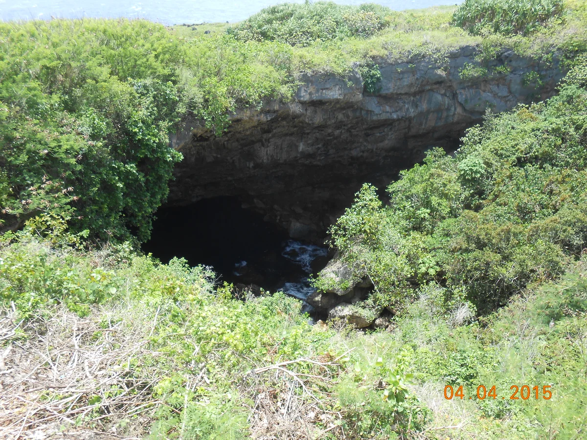
The limestone opening of the Grotto viewed from above, Saipan
Original image by Editor abcdef. CC0.
Resized, compressed and converted to WebP; display cropping may apply. Local image version.
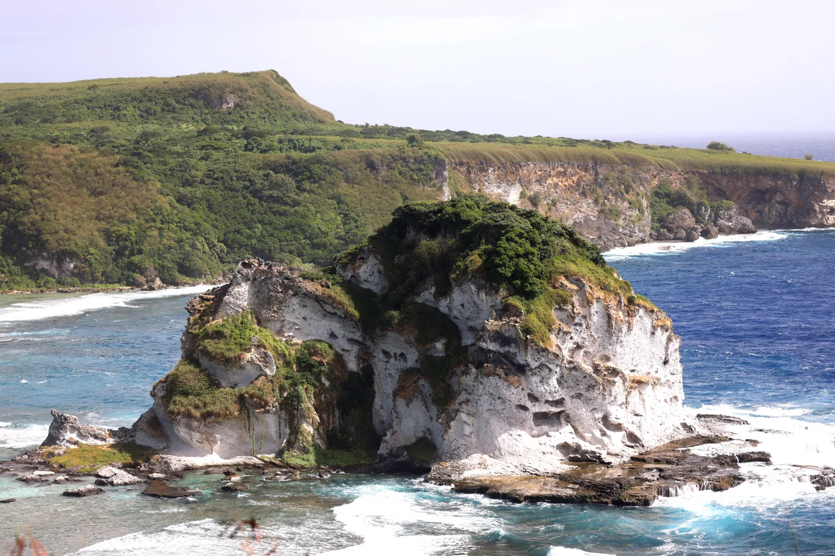
Bird Island and the surrounding coastline viewed from Saipan's overlook
Original image by Gage Skidmore. CC BY-SA 4.0.
Resized, compressed and converted to WebP; display cropping may apply. Local image version.
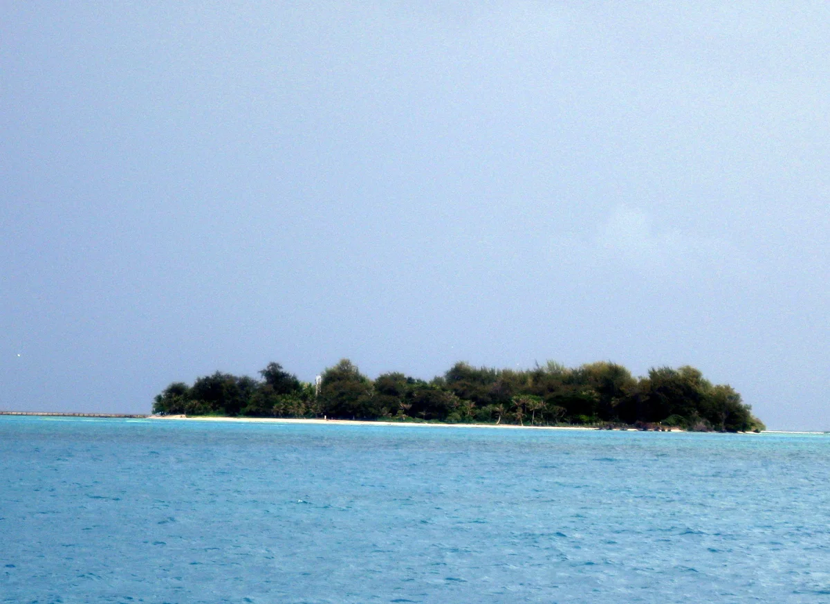
Mañagaha island surrounded by the blue lagoon off Saipan
Original image by User:Takoradee. CC BY-SA 3.0.
Resized, compressed and converted to WebP; display cropping may apply. Local image version.
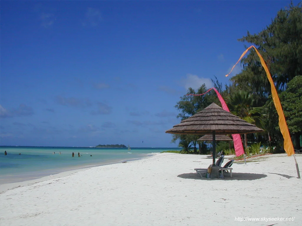
Sand and turquoise water at Micro Beach, Saipan
Original image by skyseeker from Yokohama, Japan. CC BY 2.0.
Resized, compressed and converted to WebP; display cropping may apply. Local image version.
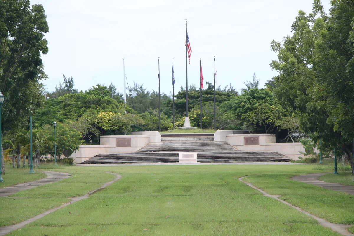
American Memorial Park in Garapan, Saipan
Original image by Yp8080123. CC BY-SA 3.0.
Resized, compressed and converted to WebP; display cropping may apply. Local image version.
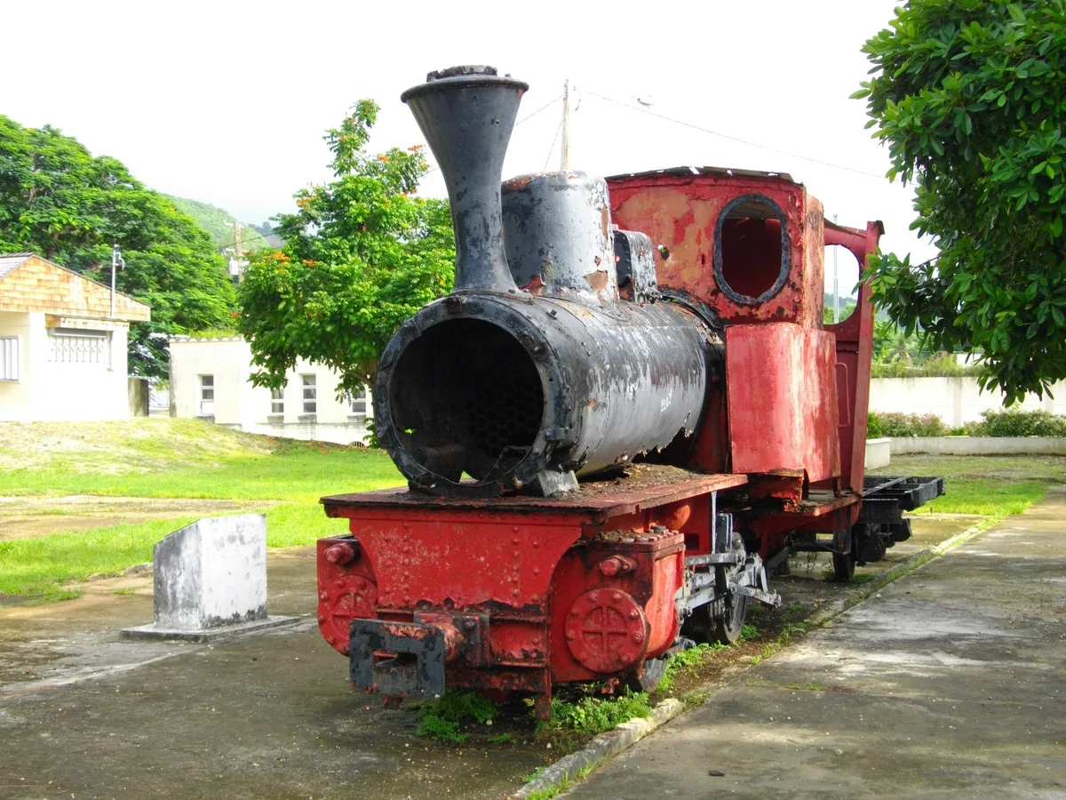
Preserved steam locomotive at Sugar King Park in Garapan
Original image by Abasaa. Public domain.
Resized, compressed and converted to WebP; display cropping may apply. Local image version.
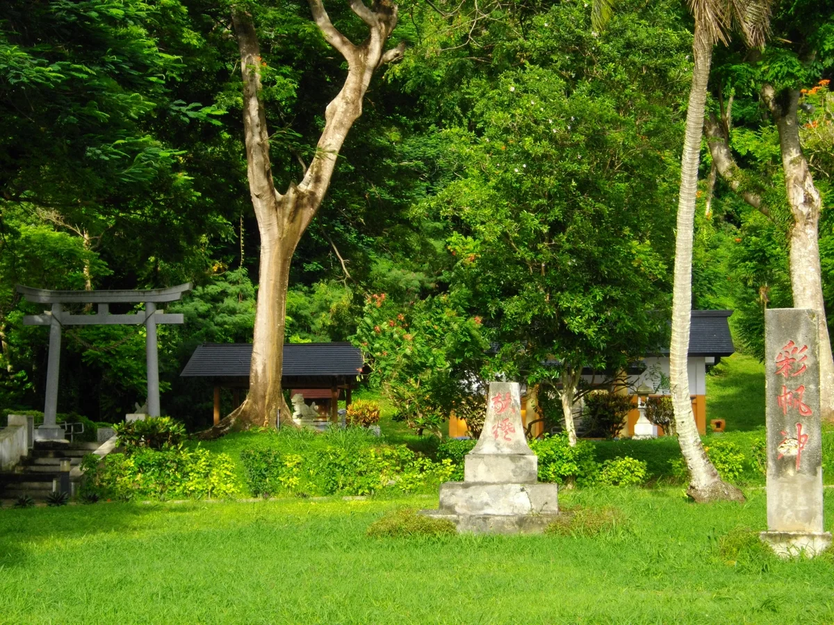
Saipan Katori Shrine at Sugar King Park, Garapan
Original image by Abasaa. Public domain.
Resized, compressed and converted to WebP; display cropping may apply. Local image version.
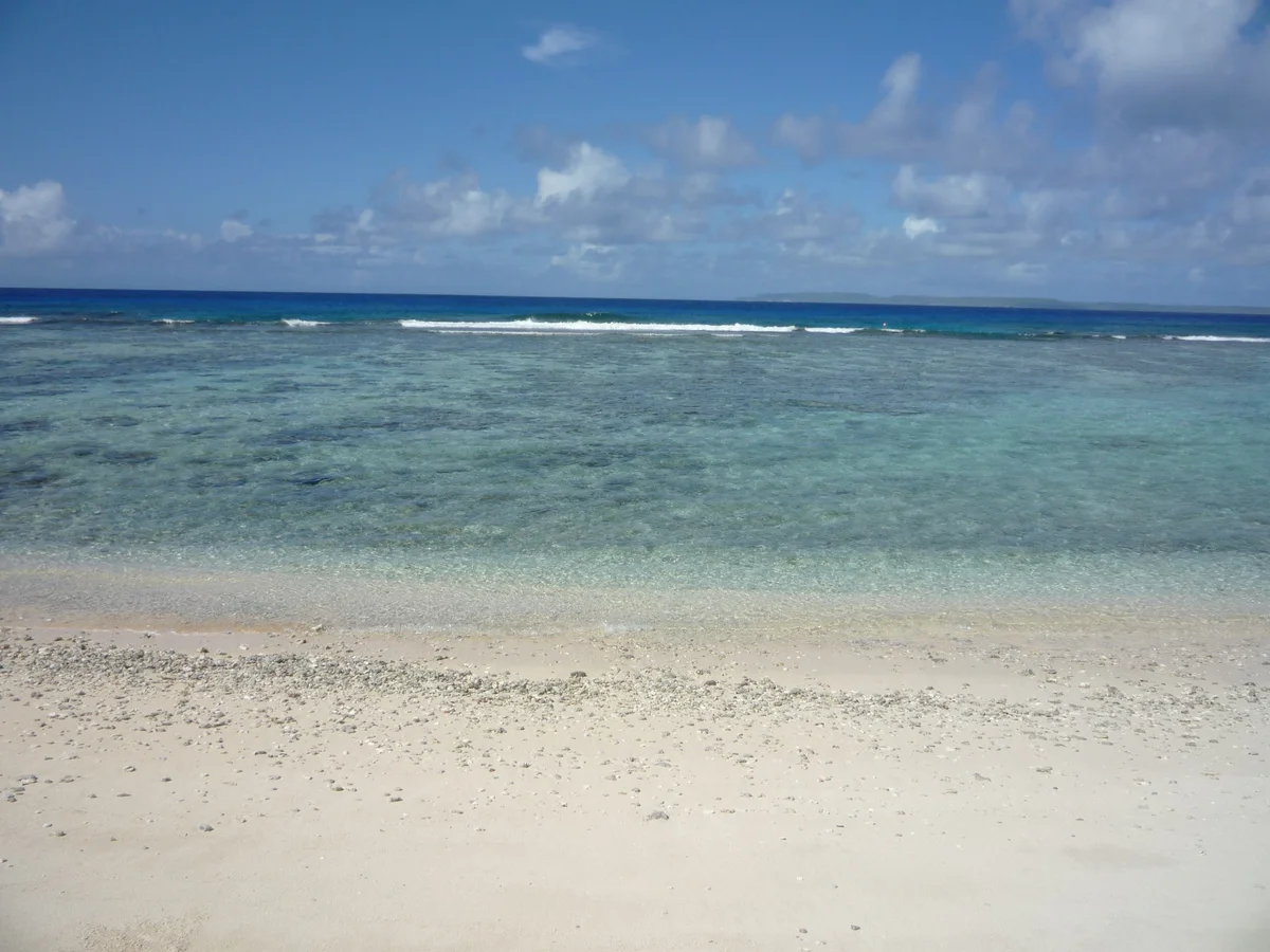
The sand and shoreline of Obyan Beach, Saipan
Original image by Cla68. CC0.
Resized, compressed and converted to WebP; display cropping may apply. Local image version.
Pau Pau Beach on the northwestern coast of Saipan
Original image by Abasaa. Public domain.
Resized, compressed and converted to WebP; display cropping may apply. Local image version.
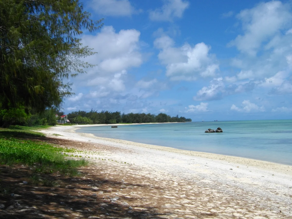
Tanapag Beach and its lagoon shoreline, Saipan
Original image by Abasaa. Public domain.
Resized, compressed and converted to WebP; display cropping may apply. Local image version.
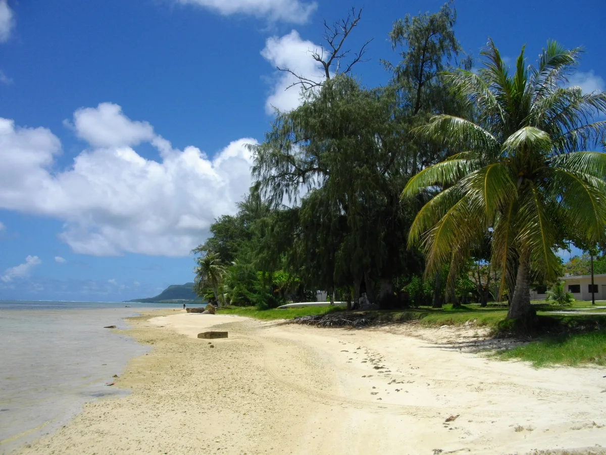
Mount Tapochau rising above nearby vegetation and buildings, Saipan
Original image by Abasaa. Public domain.
Resized, compressed and converted to WebP; display cropping may apply. Local image version.
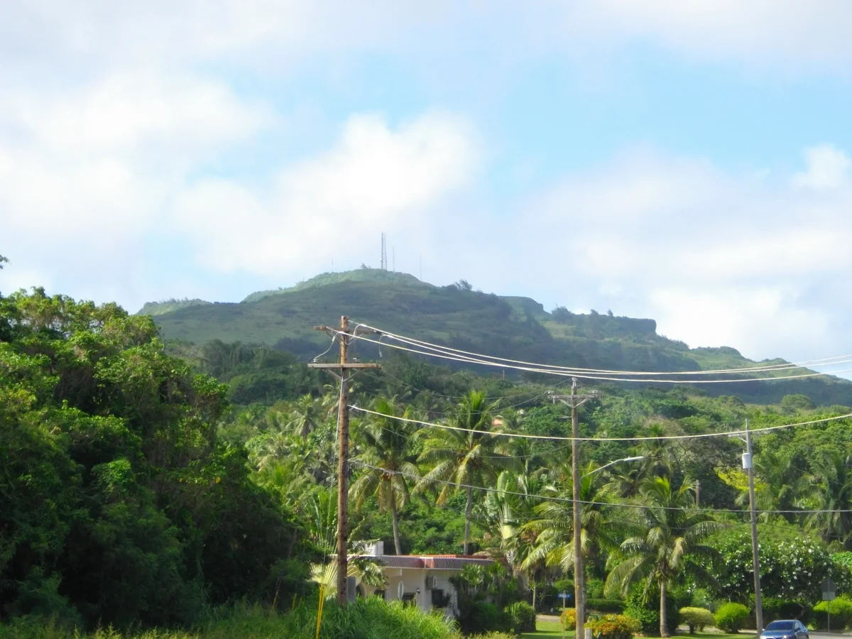
Mount Marpi north cliff face, known as Suicide Cliff, Saipan
Original image by Cla68. CC BY-SA 3.0.
Resized, compressed and converted to WebP; display cropping may apply. Local image version.
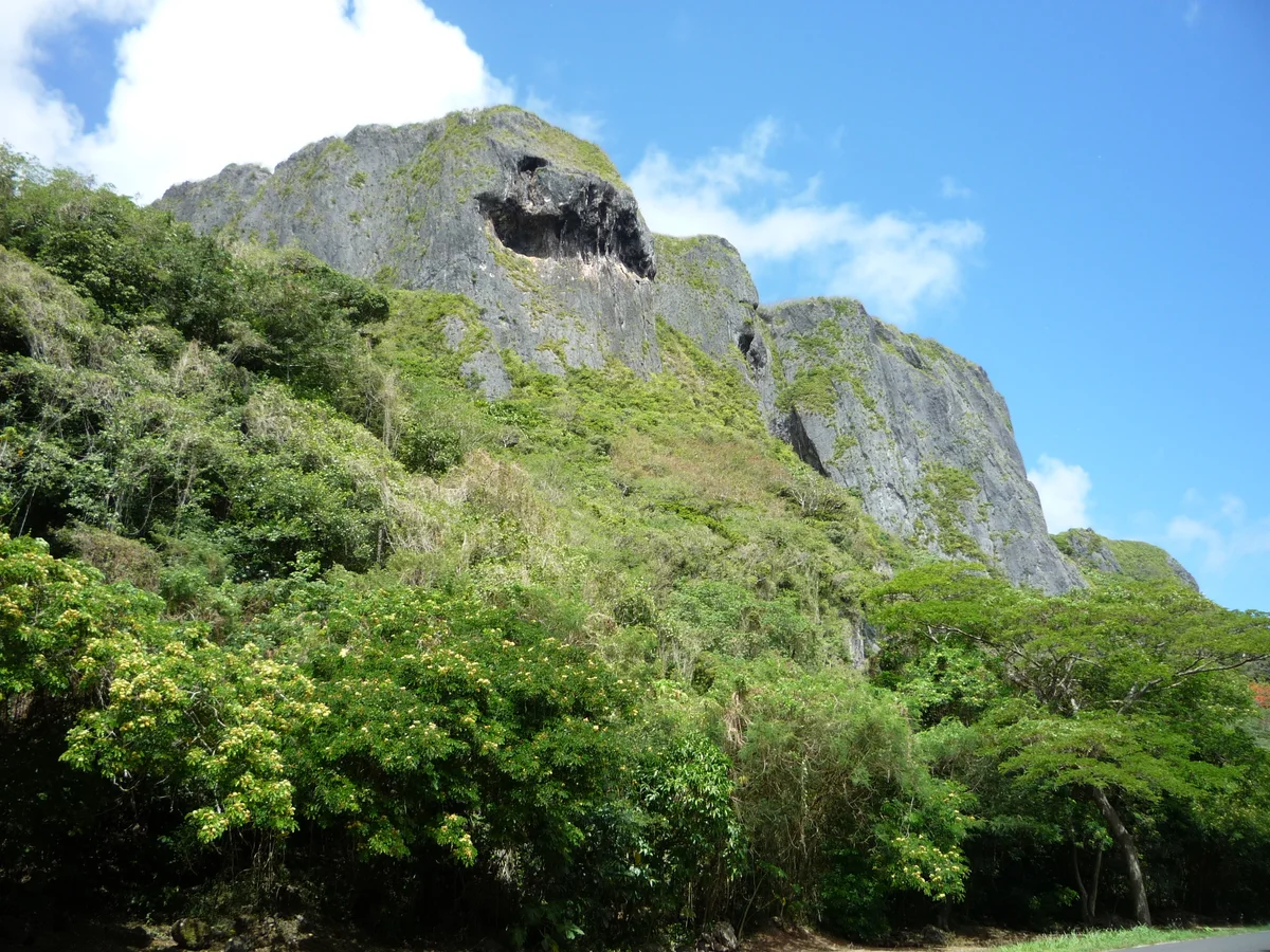
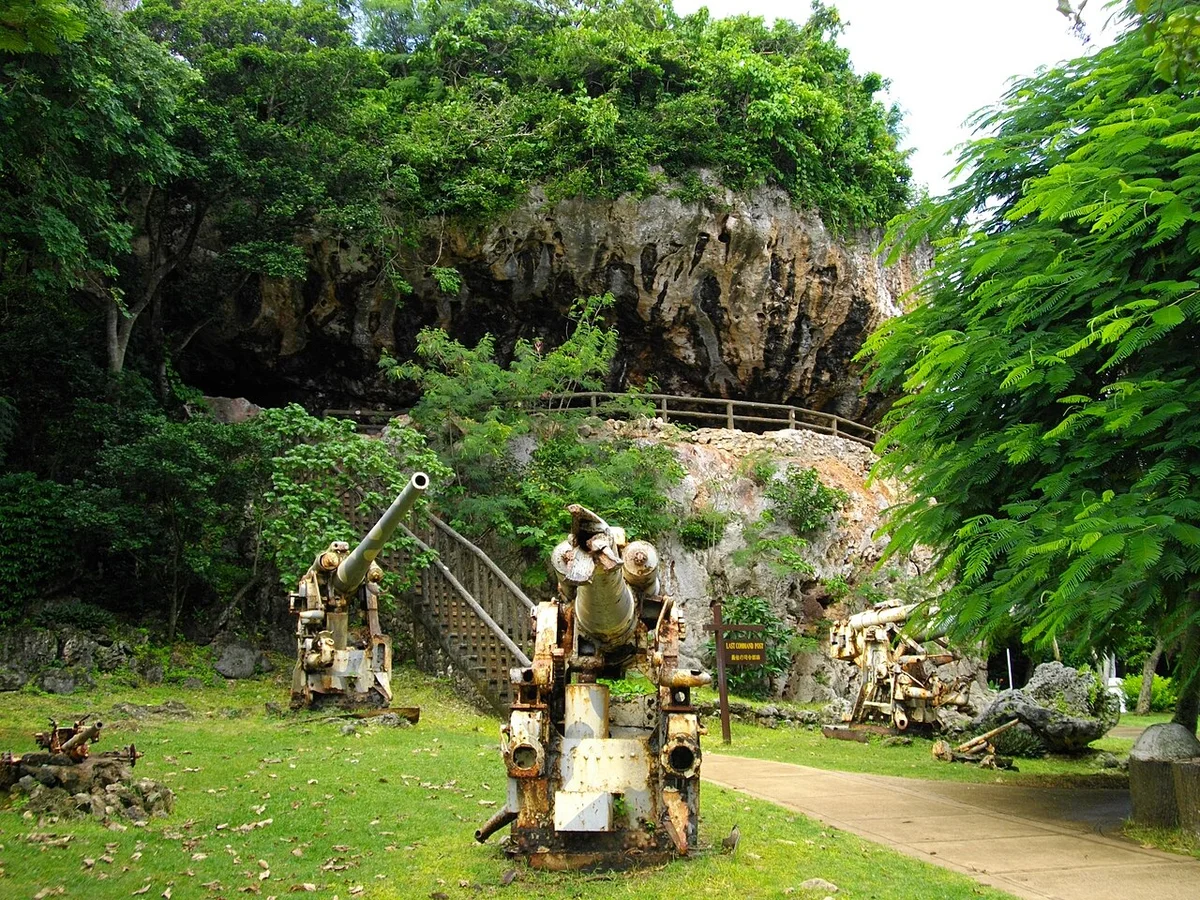
The preserved Last Command Post site in northern Saipan
Original image by Abasaa. Public domain.
Resized, compressed and converted to WebP; display cropping may apply. Local image version.
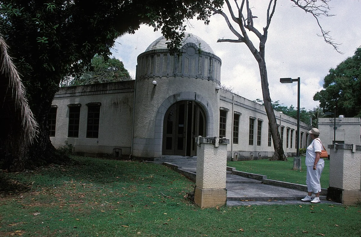
Archival photograph of the former Japanese hospital building that became the NMI Museum
Original image by JERRYE & ROY KLOTZ MD. CC BY-SA 3.0.
Resized, compressed and converted to WebP; display cropping may apply. Local image version.
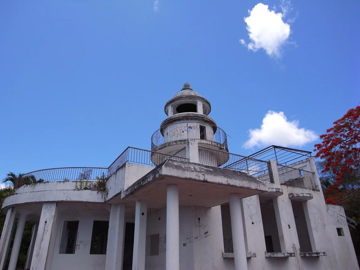
The Old Japanese Lighthouse in Saipan, photographed in 2009
Original image by rambler.panoramio. CC BY-SA 3.0.
Resized, compressed and converted to WebP; display cropping may apply. Local image version.
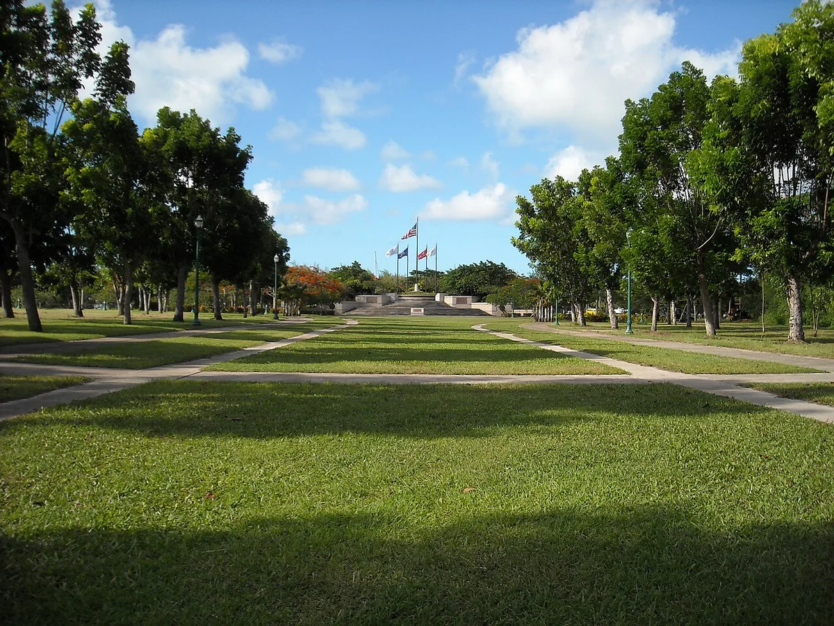
The Court of Honor lawn and memorial flag circle at American Memorial Park
Original image by NPS Photo. Public domain.
Resized, compressed and converted to WebP; display cropping may apply. Local image version.
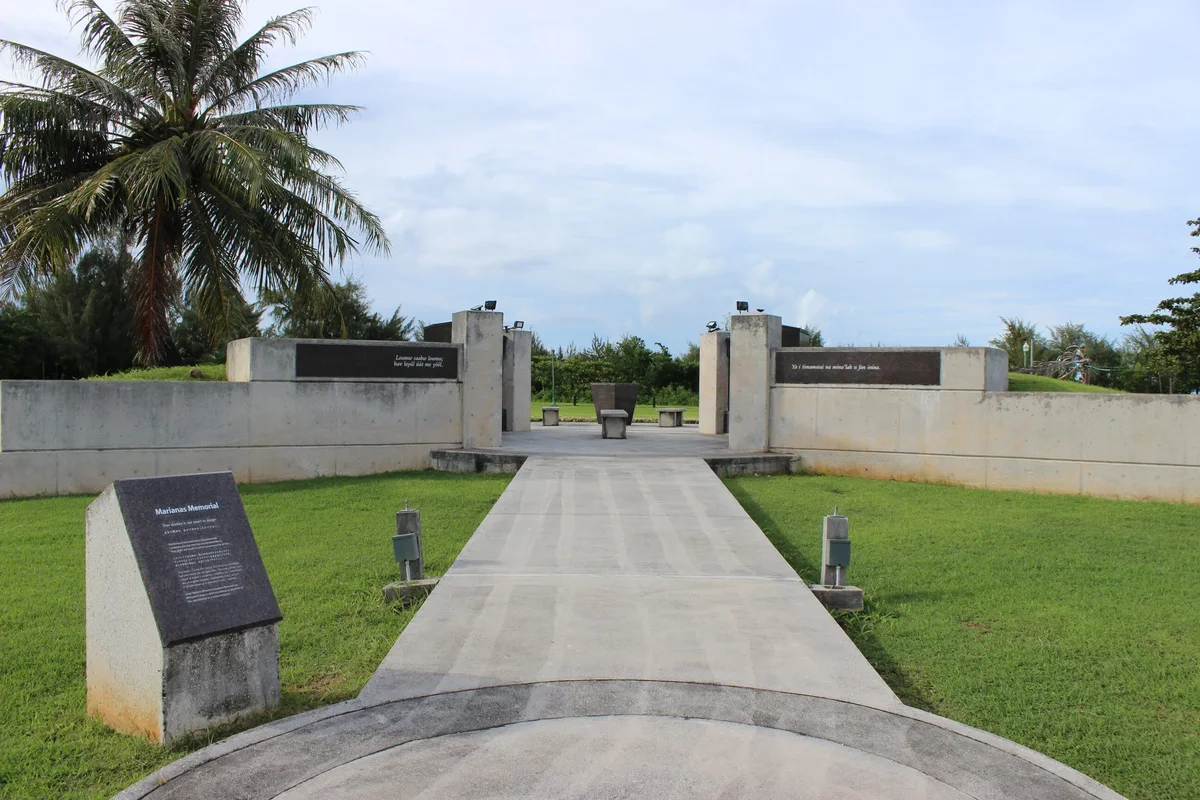
Entrance walkway and memorial walls at the Marianas Memorial in Saipan
Original image by Jether Yobech. Public domain.
Resized, compressed and converted to WebP; display cropping may apply. Local image version.
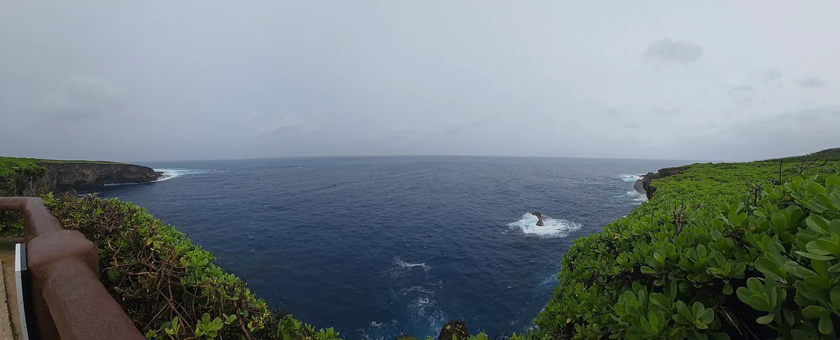
Panorama of Banzai Cliff and the northern Saipan coastline
Original image by PonyToast. CC BY 4.0.
Resized, compressed and converted to WebP; display cropping may apply. Local image version.
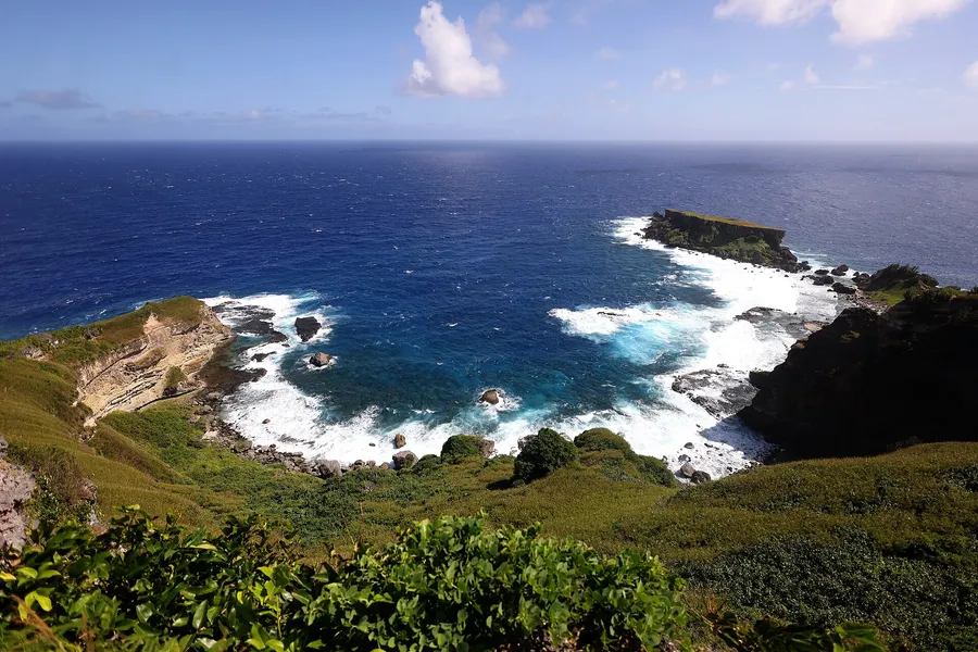
Forbidden Island and the eastern Saipan coast from the lookout
Original image by Gage Skidmore. CC BY-SA 4.0.
Resized, compressed and converted to WebP; display cropping may apply. Local image version.
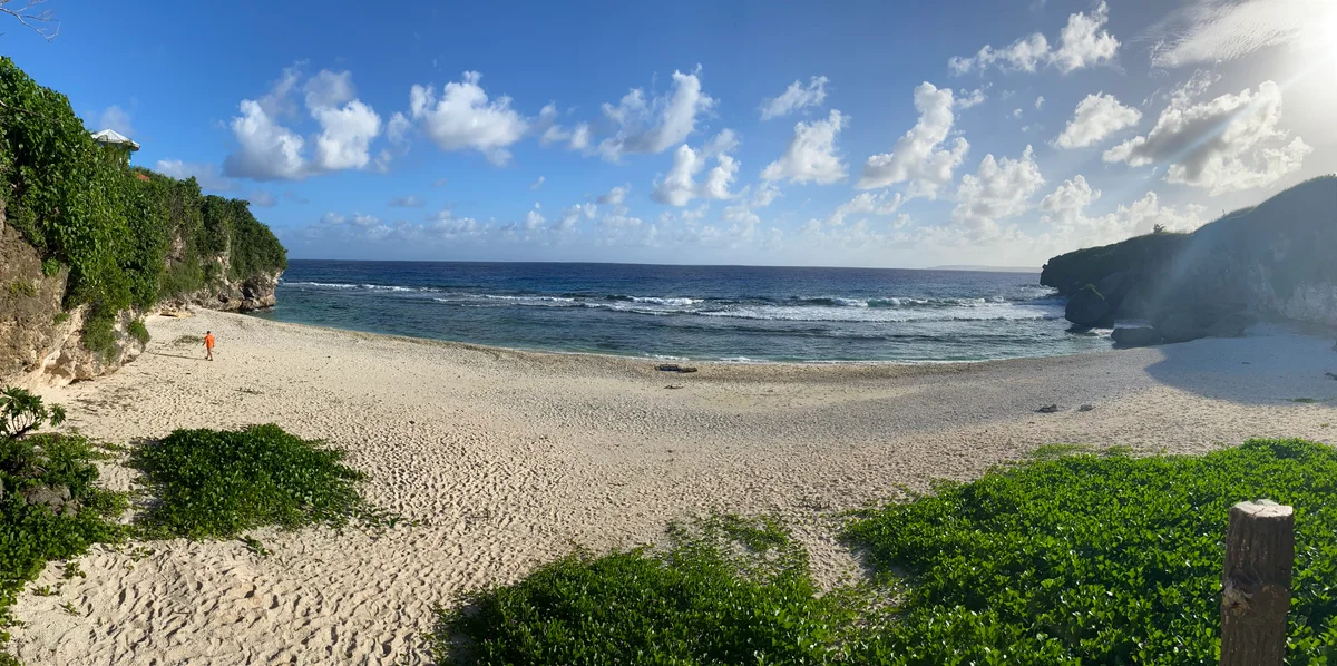
Ladder Beach looking south across the sand and limestone headlands
Original image by Alan Mair / U.S. Geological Survey. Public domain.
Resized, compressed and converted to WebP; display cropping may apply. Local image version.
Rocky coastal terraces and surf at Talofofo (Jeffrey’s) Beach, Saipan
Original image by Dan Muhs / U.S. Geological Survey. Public domain.
Resized, compressed and converted to WebP; display cropping may apply. Local image version.
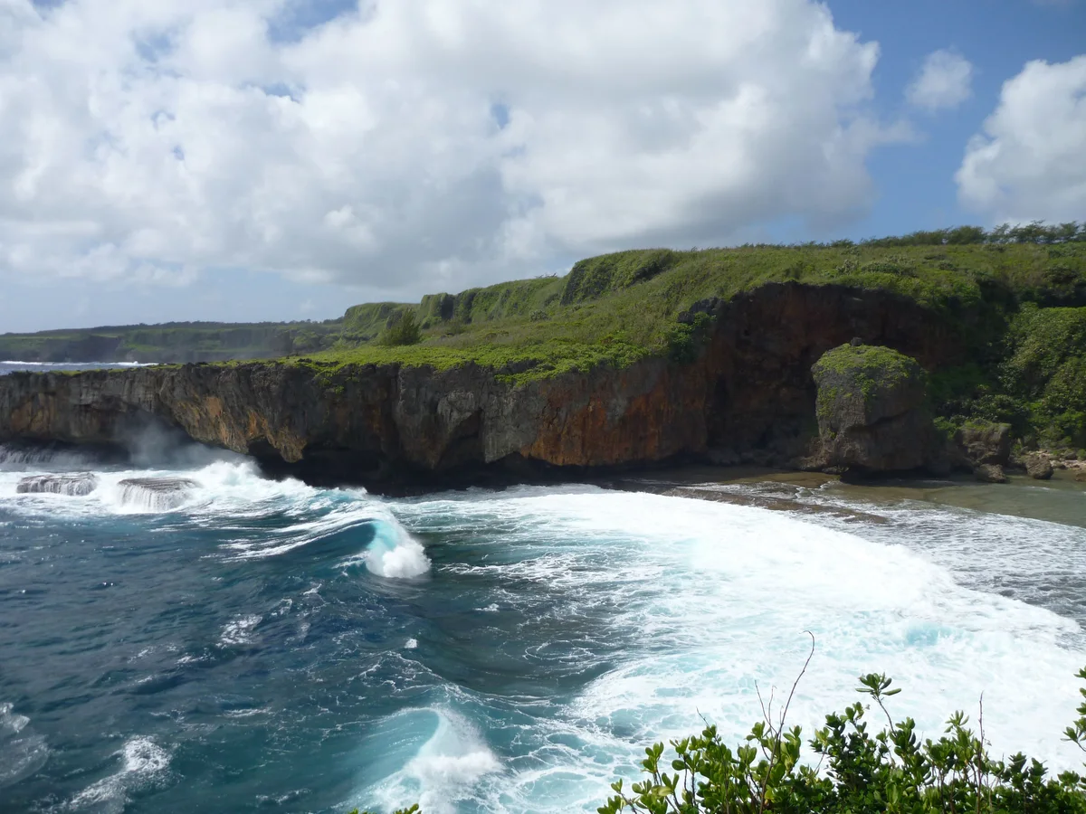
Pale sand and coral rubble at Tank Beach, with driftwood, coastal vegetation and surf breaking against the Kagman headland
Original image by David Jones. CC BY 2.0.
Resized, compressed and converted to WebP; display cropping may apply. Local image version.
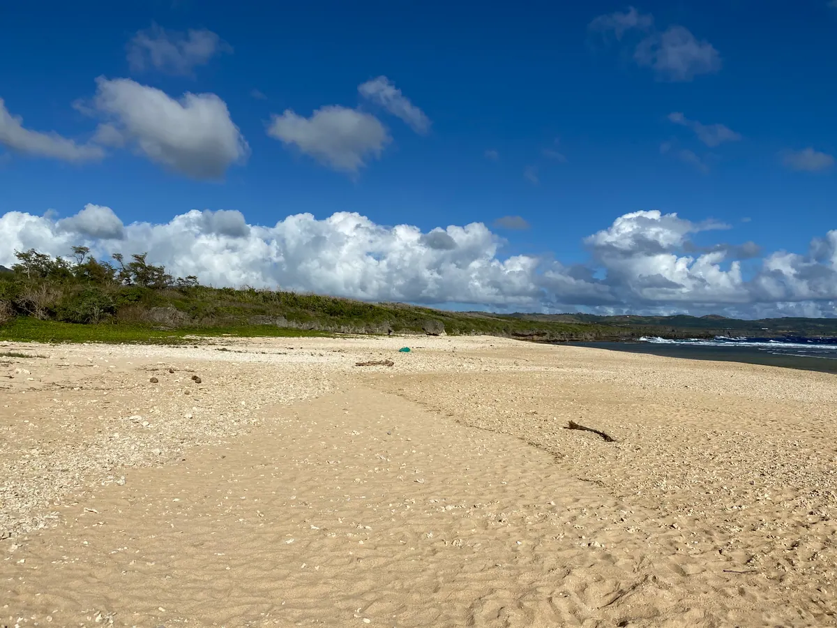
Coral rubble beside the shallow blue water at Wing Beach, with low limestone ledges and a wooded headland along the shore
Original image by amanderson2. CC BY 2.0.
Resized, compressed and converted to WebP; display cropping may apply. Local image version.
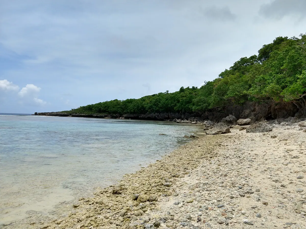
Photographs in “Where on Saipan?” and on postcards
The daily game and the postcards also draw on these photographs, each placed on the map by the coordinates published with it. All are shown resized and compressed, and cropped where the layout needs it. Each links to its full credit: the photographer, where it was published, its licence and what was changed.
- Paved road descending between broad-canopied trees toward a turquoise lagoon under a blue sky rambler.panoramio による。 CC BY-SA 3.0
- 手前にココヤシの木々と緑の低木が広がり、その向こうには白いサンゴ礁のラインと青いラグーンが広がっています。 rambler.panoramio による。 CC BY-SA 3.0
- Deep-blue seawater pool with a white buoy and rope under a limestone cave arch at the Grotto, Saipan rambler.panoramio による。 CC BY-SA 3.0
- 層状の石灰岩壁の下、透き通る青い水の中に大きな灰色の岩塊と赤みがかった沈んだ岩が点在する風景 rambler.panoramio による。 CC BY-SA 3.0
- 濃密な緑の森を降りる、丸太調の手すり付きの急な階段 Peter Rood による。 CC BY-SA 2.0
- 浅いターコイズブルーの湾に石灰岩の島嶼があり、背後には緑の崖と一列の波が見える空中からの眺め rambler.panoramio による。 CC BY-SA 3.0
- 深い青色の海の上に広がる緑豊かな崖の上にある、緑の手すり付きのコンクリート製通路と階段 rambler.panoramio による。 CC BY-SA 3.0
- 緑の崖に囲まれたターコイズブルーの湾に浮かぶ、頂上に緑をまとった白い石灰岩の小島。手前には暗い岩が点在しています。 David Burdick. による。 Public domain
- 緑色の街灯が並ぶ歩行者専用通り、シャッターを閉めた店舗が立ち並ぶ中、マリアナス大通り沿いの石製植木鉢に本が置かれている様子 Yp8080123 による。 CC BY-SA 3.0
- 青々とした低木から、青いラグーンに隣接するホテルの塔がそびえる町を見渡す景色 rambler.panoramio による。 CC BY-SA 3.0
- 浅いラグーン平野に沈むピンク色の夕焼け空、地平線には停泊中の船、手前にはヤシの葉が映る風景 Vincent Camacho officialmapps による。 CC0
- 遠くの町を見下ろす緑豊かな丘の上にあるダートトラックと電柱、ターコイズ色のラグーンと小さな島 Buffaboy による。 CC BY-SA 4.0
- 白い波が打ち寄せるサンゴ礁の平坦な陸橋によって、崖に囲まれた海岸とつながった、平らな岩島の島。緑豊かな崖の上から眺める景色です。 Buffaboy による。 CC BY-SA 4.0
- 白い波が砕ける海岸に囲まれ、深い青色の海に面した、急峻な暗い崖を持つ平坦な島 Gage Skidmore による。 CC BY-SA 4.0
- Steep-sided rocky island behind boulders, clear tide pools and coral rubble under a blue sky Buffaboy による。 CC BY-SA 4.0
- Airport terminal roadway under a concrete canopy with palms, parked cars and aircraft tails in the distance kajikawa による。 CC BY 3.0
- 淡い砂浜と穏やかな青いラグーン、浅瀬にはいくつかの杭が立つヤシの葉 tata_aka_T from Tokyo, JAPAN による。 CC BY 2.0
- 浅いラグーンに隣接する曲線を描く淡い砂浜、海岸沿いに並ぶ木々の列、そして手前にあるコンクリートのランプ Abasaa による。 Public domain
「トレンチへ」の写真
The descent shows photographs from ocean expeditions and published research, most of them by the US National Oceanic and Atmospheric Administration. Each depth, date and claim on that page is linked to its source there. A photograph that was not taken at the depth of its stop is labelled as illustrative.
- Saipanの丘から望むタナパグラグーン:淡いターコイズ色の浅瀬、マニャガハ島、そしてバリアリーフ沿いに伸びる白い波の列 A. Legra による。 CC BY-SA 3.0
- A green sea turtle resting under a reef ledge at Saipan, facing the camera with its front flippers spread David Burdick / NOAA Photo Library による。 CC BY 2.0
- The black, crusted surface of the molten sulfur pond at Daikoku submarine volcano, with white plumes rising from its far edge and pale sulfur crust in the foreground Image courtesy of Submarine Ring of Fire 2006 Exploration, NOAA Vents Program. Public domain
- A billowing white eruption cloud full of dark rock fragments bursting from Brimstone Pit on NW Rota-1 submarine volcano Image courtesy of Submarine Ring of Fire 2006 Exploration, NOAA Vents Program. Public domain
- Small white chimneys pouring out cloudy white fluid at the Champagne vent on NW Eifuku volcano, with droplets of liquid carbon dioxide rising at upper left Image courtesy of Submarine Ring of Fire 2004 Exploration, NOAA Vents Program. Public domain
- メキシコ湾の暗い水中に生息する、Grimpoteuthis属のダンボオクトパス。耳のような鰭を持ち、腕をきつく巻き付けた螺旋状に収めている様子が描かれています。 Image courtesy of the NOAA Office of Ocean Exploration and Research, Exploration of the Gulf of Mexico 2014. Public domain
- マリアナ海溝の堆積物直上を泳ぐ、アフィオニダエ科に属する淡く半透明で鱗を持たない魚。小さな無色素の目を持つ。 Image courtesy of the NOAA Office of Ocean Exploration and Research. Public domain
- マリアナ後弧の熱水噴出孔の煙突から黒い流体が放出され、エビやカニが岩に付着している様子 Image courtesy of the NOAA Office of Ocean Exploration and Research, 2016 Deepwater Exploration of the Marianas. Public domain
- クナナフ・フロ泥火山の堆積地上を歩く、甲羅の代わりに背中にピンク色のクラゲ(イソギンチャク)を乗せたオレンジ色の長脚のカニ Image courtesy of the NOAA Office of Ocean Exploration and Research, 2016 Deepwater Exploration of the Marianas. Public domain
- A jellyfish near Enigma Seamount with red canals and bright yellow organs showing through its clear bell and long pale tentacles trailing below Image courtesy of NOAA Office of Ocean Exploration and Research, 2016 Deepwater Exploration of the Marianas. Public domain
- マリアナ海溝の内壁、6,000 メートル下の淡く層状になった岩盤を照らす遠隔操作型探査機ディープ・ディスカバラー Image courtesy of the NOAA Office of Ocean Exploration and Research, 2016 Deepwater Exploration of the Marianas. Public domain
- A freshly collected Mariana snailfish, pale and translucent with its organs showing through the skin, on a black background with a 1 cm scale bar Wang, K. et al. (2019), Morphology and genome of a snailfish from the Mariana Trench provide insights into deep-sea adaptation, Nature Ecology & Evolution 3: 823-833, https://doi.org/10.1038/s41559-019-0864-8 による。 CC BY 4.0
- The bathyscaphe Trieste low in a choppy sea just before its dive on 23 January 1960, a crewman on its deck and the destroyer escort USS Lewis behind U.S. Navy photo NH 96797 による。 Public domain
Place galleries
Place galleries include our own photographs and individually credited licensed photographs. Before adding one we inspect the original and enlarged details for people, readable licence plates and private homes, and remove location metadata. Our own photographs are all rights reserved; licensed photographs retain the licence linked with each credit.
Sunrise over Laolao Bay
Photograph by Blake M., December 27, 2024, at Laolao Bay. All rights reserved.
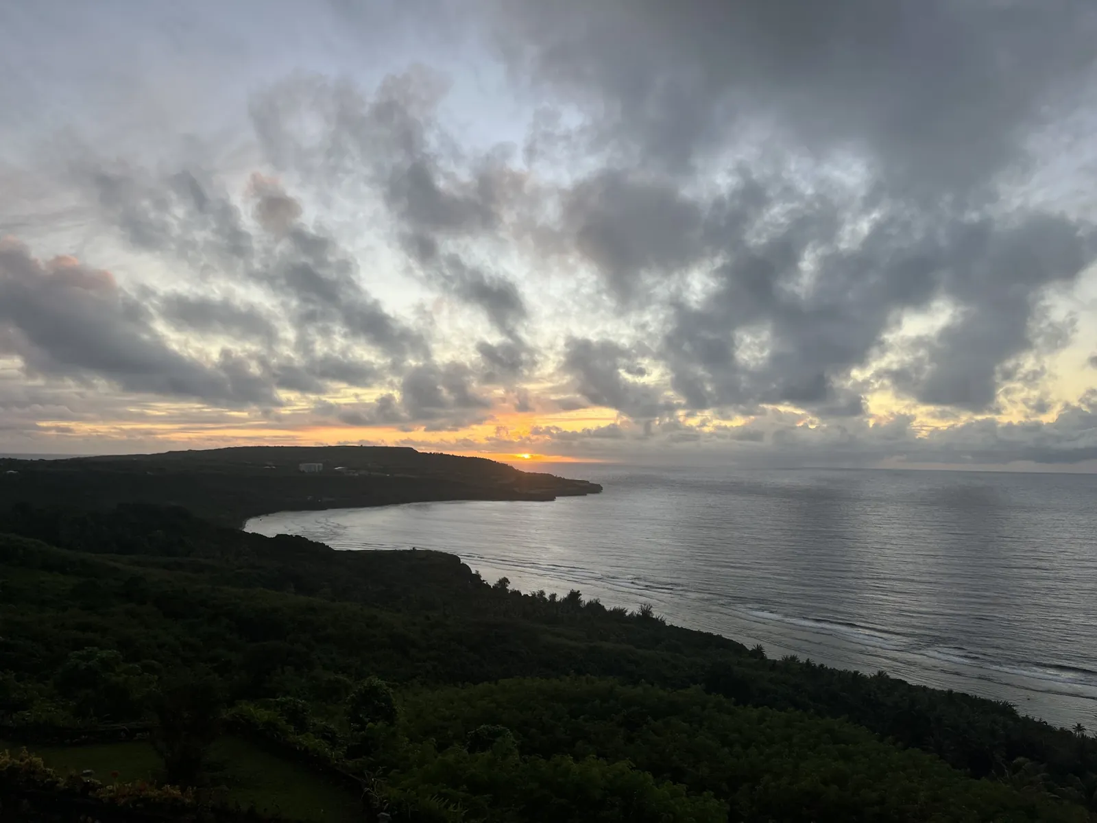
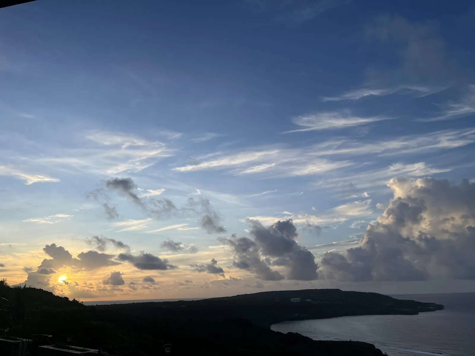
Morning sky over Laolao Bay
Photograph by Blake M., June 24, 2025, at Laolao Bay. All rights reserved.
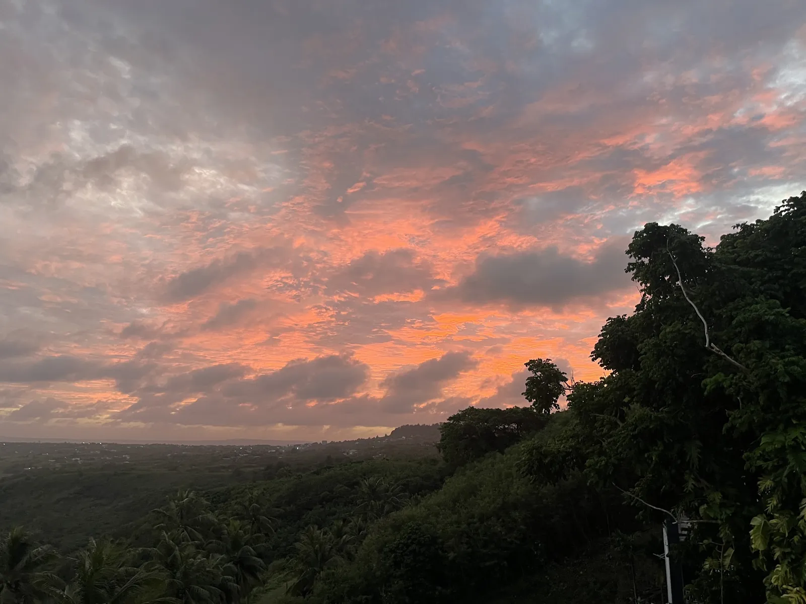
Fire sky above San Vicente
Photograph by Blake M., December 19, 2024, at Laolao Bay. All rights reserved.
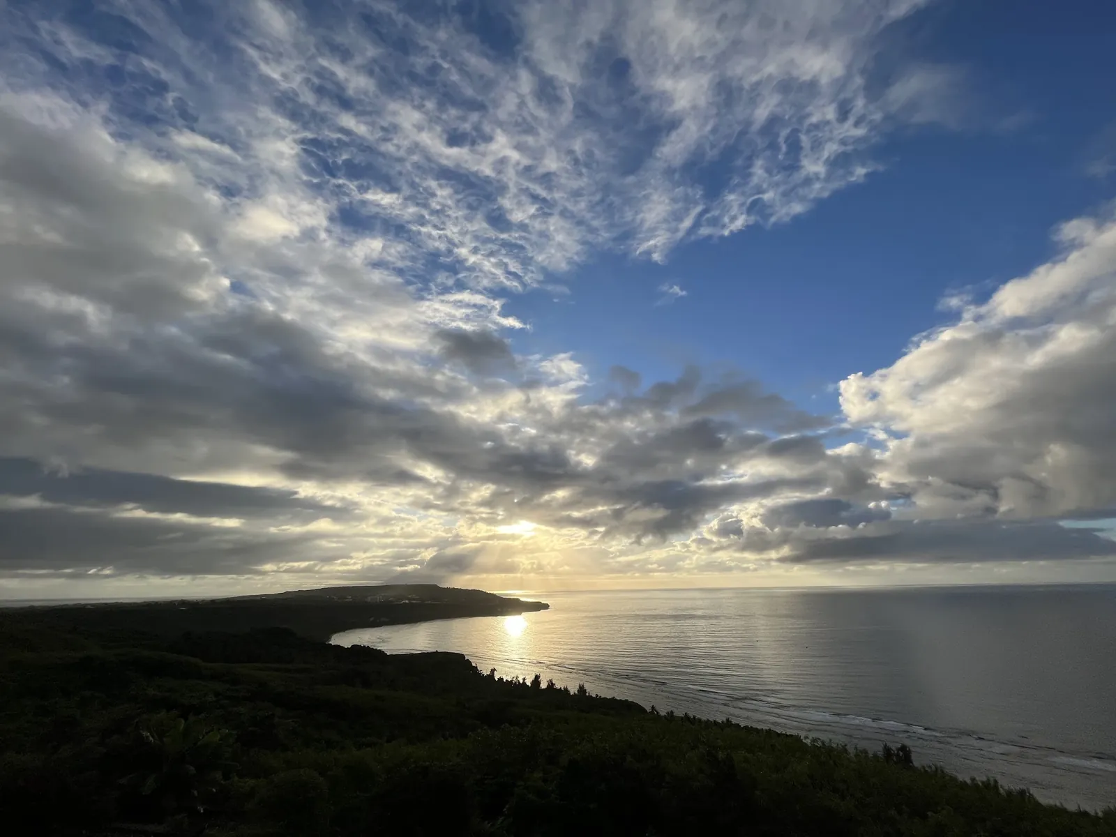
Sunburst over the bay
Photograph by Blake M., January 13, 2022, at Laolao Bay. All rights reserved.
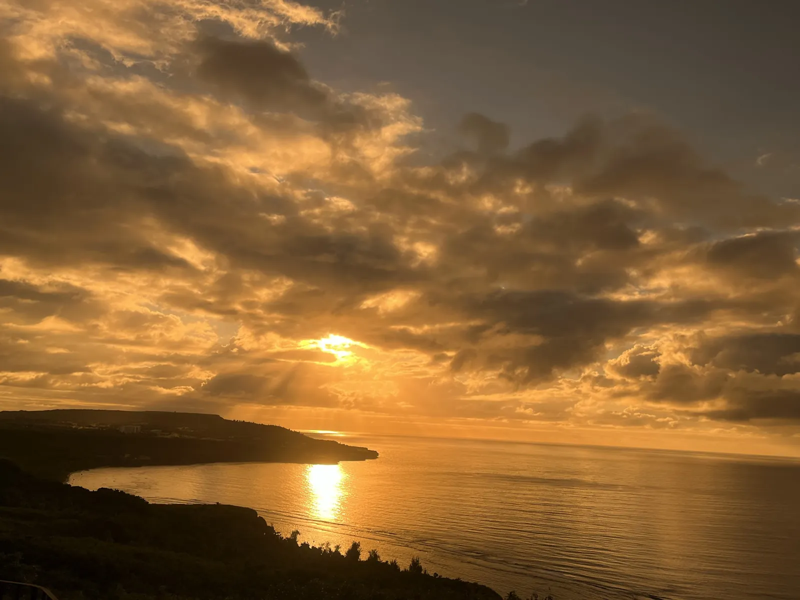
Gold sunrise, Laolao Bay
Photograph by Blake M., January 13, 2022, at Laolao Bay. All rights reserved.
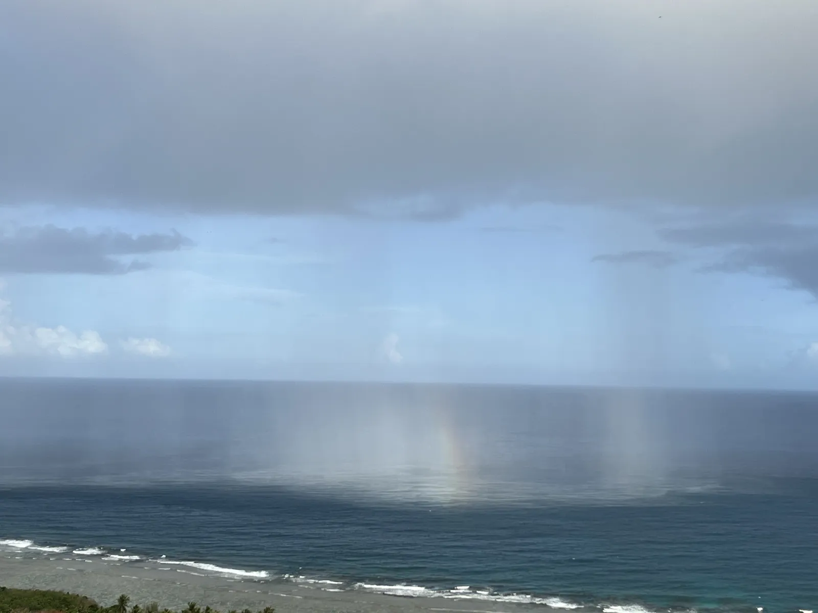
Rain squall over the reef
Photograph by Blake M., May 28, 2023, at Laolao Bay. All rights reserved.
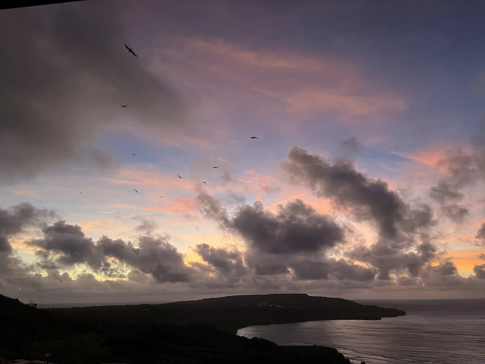
Seabirds at dusk
Photograph by Blake M., February 26, 2022, at Laolao Bay. All rights reserved.
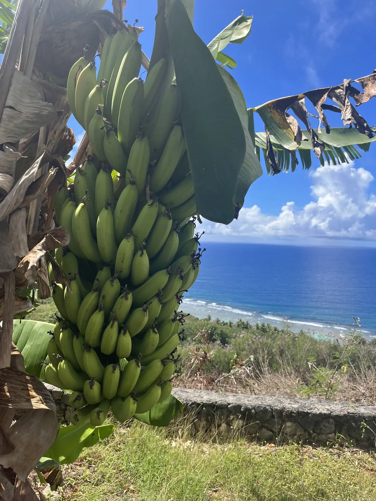
Bananas above the bay
Photograph by Blake M., May 12, 2023, at Laolao Bay. All rights reserved.
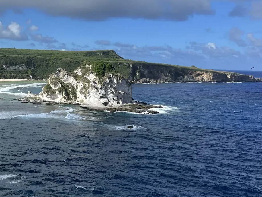
Bird Island
Photograph by Blake M., June 15, 2023, at Bird Island & Overlook. All rights reserved.
Forbidden Island
Photograph by Blake M., January 13, 2018, at Forbidden Island & Overlook. All rights reserved.
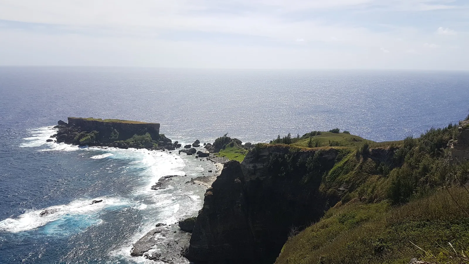
Forbidden Island from the cliffs
Photograph by Blake M., January 13, 2018, at Forbidden Island & Overlook. All rights reserved.
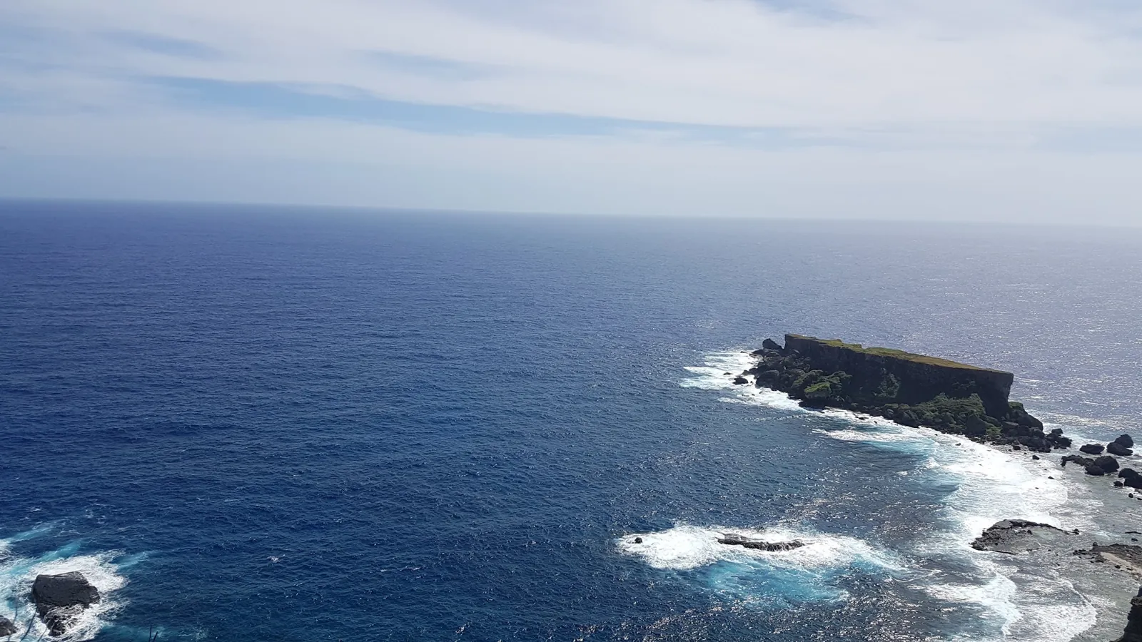
Tank Beach, Saipan
Photograph by David Jones, January 6, 2020, at Tank Beach. CC BY 2.0.
Coral shores of Wing Beach Saipan
Photograph by amanderson2, May 14, 2018, at Wing Beach. CC BY 2.0.
Business photographs and logos
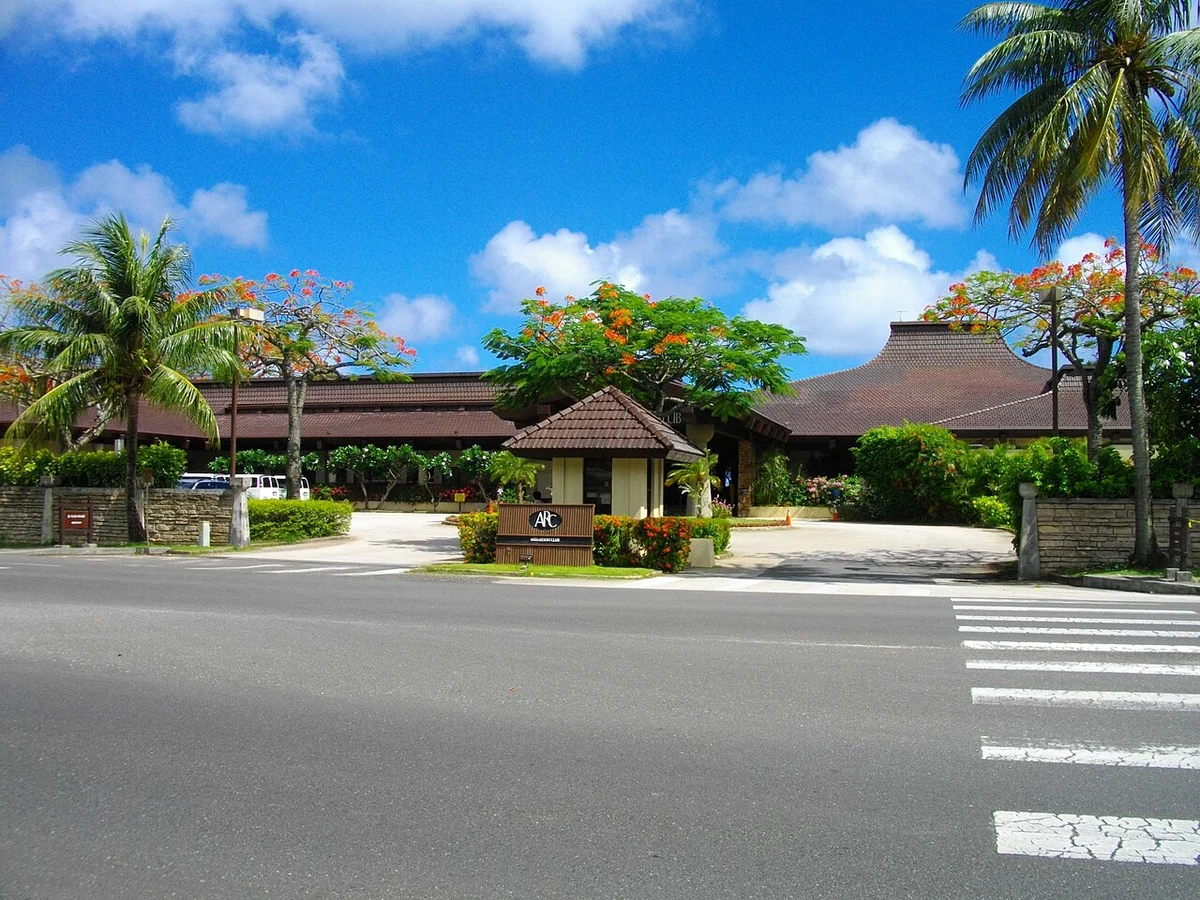
Aqua Resort Club Saipan entrance, photographed in May 2011
Source: Abasaa. Public domain.
Local image version. Resized for web display. Business trademarks remain the property of their respective owners; inclusion does not imply endorsement.
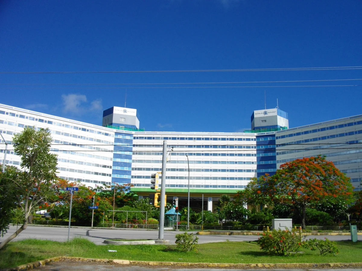
Saipan World Resort exterior on Beach Road, photographed in May 2011
Source: Abasaa. Public domain.
Local image version. Resized for web display. Business trademarks remain the property of their respective owners; inclusion does not imply endorsement.
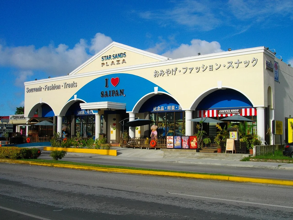
I Love Saipan at Star Sands Plaza in Garapan, photographed in May 2011
Source: Abasaa. Public domain.
Local image version. Resized for web display. Business trademarks remain the property of their respective owners; inclusion does not imply endorsement.
500 Sails official logo
Source: 500 Sails. Brand identity artwork; trademark and copyright retained by owner. The logo identifies its business; it is not a photograph of the premises.
Local image version. Resized for web display. Business trademarks remain the property of their respective owners; inclusion does not imply endorsement.

Hafa Adai Rent A Car official logo
Source: Hafa Adai Rent A Car. Brand identity artwork; trademark and copyright retained by owner. The logo identifies its business; it is not a photograph of the premises.
Local image version. Resized for web display. Business trademarks remain the property of their respective owners; inclusion does not imply endorsement.

Crowne Plaza Resort Saipan official logo
Source: Crowne Plaza Resort Saipan. Brand identity artwork; trademark and copyright retained by owner. The logo identifies its business; it is not a photograph of the premises.
Local image version. Resized for web display. Business trademarks remain the property of their respective owners; inclusion does not imply endorsement.

Marianas Trekking official logo
Source: Marianas Trekking. Brand identity artwork; trademark and copyright retained by owner. The logo identifies its business; it is not a photograph of the premises.
Local image version. Resized for web display. Business trademarks remain the property of their respective owners; inclusion does not imply endorsement.

Surfrider Resort Hotel official logo
Source: Surfrider Resort Hotel. Brand identity artwork; trademark and copyright retained by owner. The logo identifies its business; it is not a photograph of the premises.
Local image version. Resized for web display. Business trademarks remain the property of their respective owners; inclusion does not imply endorsement.

D & Q official logo
Source: D & Q. Brand identity artwork; trademark and copyright retained by owner. The logo identifies its business; it is not a photograph of the premises.
Local image version. Resized for web display. Business trademarks remain the property of their respective owners; inclusion does not imply endorsement.

PHI Pharmacy official logo
Source: PHI Pharmacy. Brand identity artwork; trademark and copyright retained by owner. The logo identifies its business; it is not a photograph of the premises.
Local image version. Resized for web display. Business trademarks remain the property of their respective owners; inclusion does not imply endorsement.

Saipan Dental Clinic official logo
Source: Saipan Dental Clinic. Brand identity artwork; trademark and copyright retained by owner. The logo identifies its business; it is not a photograph of the premises.
Local image version. Resized for web display. Business trademarks remain the property of their respective owners; inclusion does not imply endorsement.

Tupu Cane Juice official logo
Source: Tupu Cane Juice. Brand identity artwork; trademark and copyright retained by owner. The logo identifies its business; it is not a photograph of the premises.
Local image version. Resized for web display. Business trademarks remain the property of their respective owners; inclusion does not imply endorsement.

Dial Rent to Own official logo
Source: Dial Rent to Own. Brand identity artwork; trademark and copyright retained by owner. The logo identifies its business; it is not a photograph of the premises.
Local image version. Resized for web display. Business trademarks remain the property of their respective owners; inclusion does not imply endorsement.

IT&E official logo
Source: IT&E. Brand identity artwork; trademark and copyright retained by owner. The logo identifies its business; it is not a photograph of the premises.
Local image version. Resized for web display. Business trademarks remain the property of their respective owners; inclusion does not imply endorsement.

Paradise Dental Spa official logo
Source: Paradise Dental Spa. Brand identity artwork; trademark and copyright retained by owner. The logo identifies its business; it is not a photograph of the premises.
Local image version. Resized for web display. Business trademarks remain the property of their respective owners; inclusion does not imply endorsement.

Owner-uploaded images are provided by the approved business representative. Contact us about an incorrect image, a credit, or a removal request.
Help us improve a detail
Use a business page's report form to flag a correction and include a reliable source. For sightseeing corrections, source suggestions or image-credit concerns, email marianaspresence@gmail.com with the page URL and supporting details. We review corrections and ownership disputes before changing records.