
When is the best time to visit Saipan?
Saipan is warm all year. The National Park Service describes December to June as the dry season and July to November as the rainy season, when typhoons are possible.
A forested approach follows the Talofofo stream toward Saipan’s eastern shore. The estuary setting makes this a nature-focused stop, with rain, mud, and surf shaping the visit.
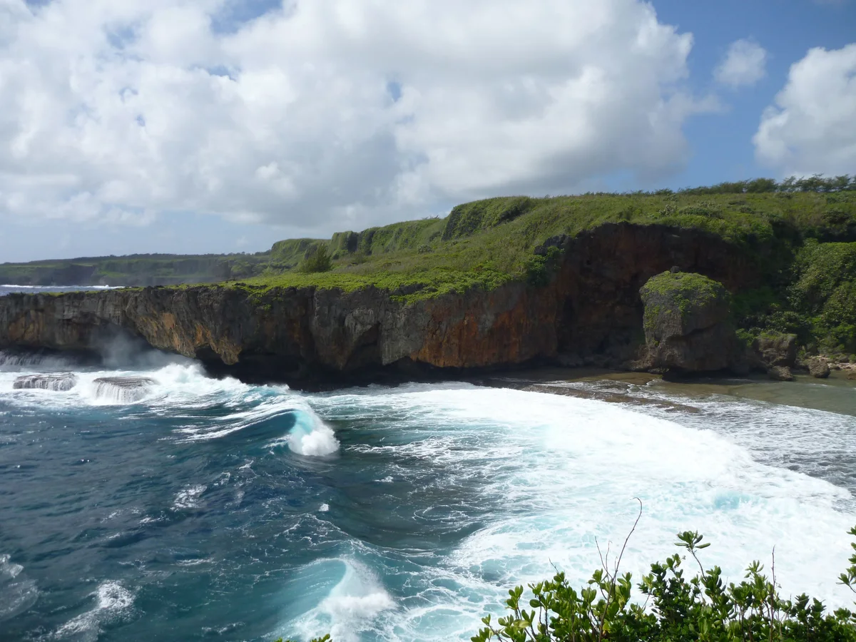
摄影:Dan Muhs / U.S. Geological Survey(Public domain)。 原始来源 · 图片来源
Jeffrey’s Beach, also called Talofofo Beach, is linked to the island’s stream-and-estuary landscape. The approach runs through vegetation beside the Talofofo stream, where wet-season flow changes the meeting of land and sea. The shoreline guide advises walking the approach rather than risking vehicles on muddy, narrow ground. MVA listed restored access in a June 2026 update, which is useful historical context but not a live opening notice. A visit suits people interested in coastal scenery and the transition from forest to shore. Plan around recent rain, and keep the return route and available daylight in mind.
通行情况。 Access from Route 36 along a forested track; roadside parking must be safe and legal. Walk rather than driving into mud or vegetation.
开放时间、费用及当前通行情况未经实时核实。游览时长为编辑团队的行程规划估算。资料核查日期:2026年9月29日。
CNMI DCRM shoreline guide, page 30
CNMI DCRM public access StoryMap — approximate location
MVA trail restoration update, June 24, 2026
Saipan is warm all year. The National Park Service describes December to June as the dry season and July to November as the rainy season, when typhoons are possible.
Partly. Transit CNMI runs one fixed bus route, 1B, between Northern Marianas College and Garapan, and a Call-A-Ride service you book in advance. The route does not go to most beaches and sights, so for those you need a rental car, a tour or a taxi.
Surf and rip currents are a real hazard, so check the National Weather Service's current advisories for the Marianas before you swim, snorkel or dive. Beach water is also tested for bacteria, and a red flag means do not swim or fish nearby.
Not in the named no-take areas: Managaha, Bird Island (including the Grotto) and Forbidden Island (including Tank Beach), where fishing, feeding fish and collecting shells, sand or coral are prohibited. Elsewhere, check the CNMI fishing rules before you fish.
岛上这一带的其他景点;实际行车路线可能不同。
A forest trail leads to an east-coast beach known for a weathered rock resembling a face. The reward is coastal geology and scenery rather than an assured swimming spot.
一处被石灰岩崖壁环抱的袖珍海滩,位于36号公路下方,需沿台阶而下。沿岸峭壁与溪流入海口构成了一个小巧的观景点,但地面不平,现场状况也会有变化。
位于塞班岛东侧、两道海岸悬崖之间的海滩公园,设有野餐区,近岸处有岸礁。在海边休闲是这里最可靠的玩法,能否游泳则要看当天的海况。
 问问 Nåpu