
When is the best time to visit Saipan?
Saipan is warm all year. The National Park Service describes December to June as the dry season and July to November as the rainy season, when typhoons are possible.
A forested approach follows the Talofofo stream toward Saipan’s eastern shore. The estuary setting makes this a nature-focused stop, with rain, mud, and surf shaping the visit.
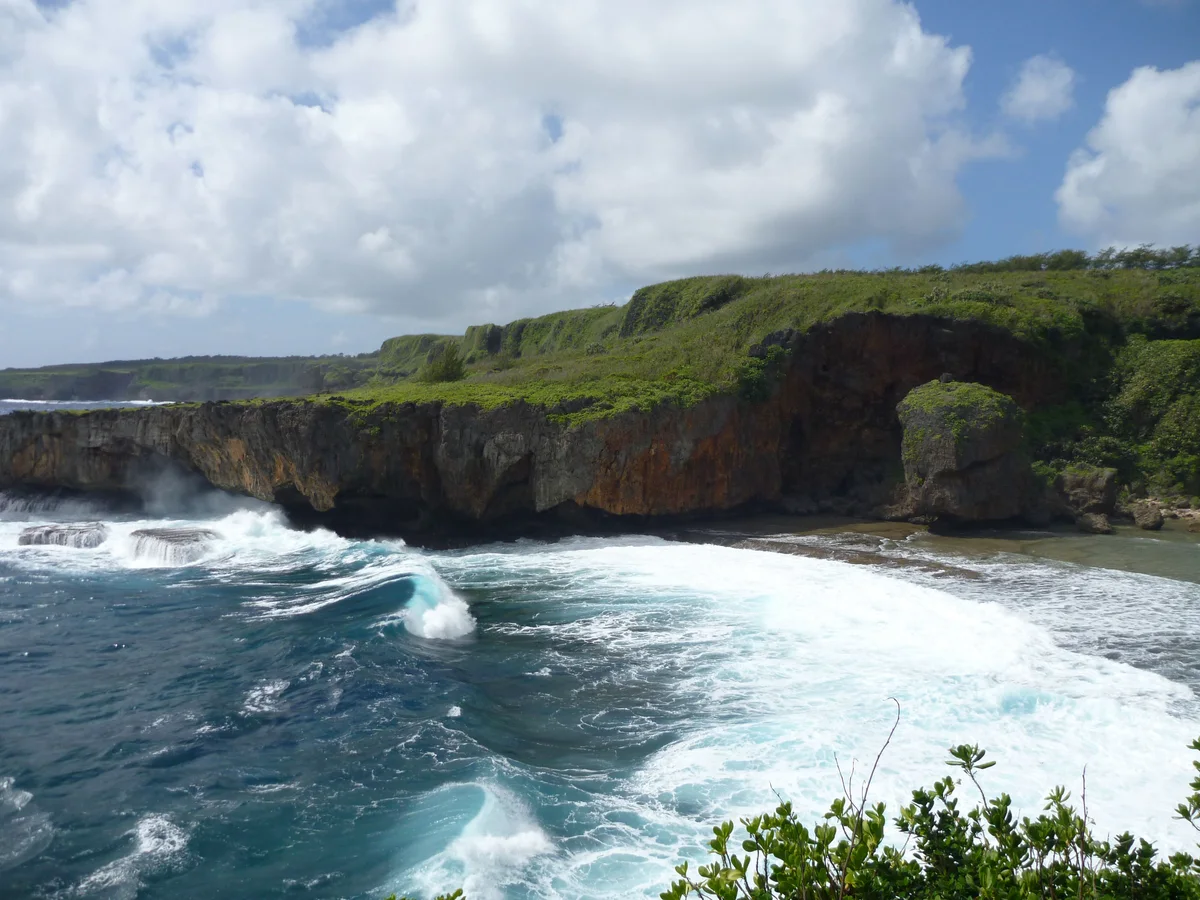
写真:Dan Muhs / U.S. Geological Survey(Public domain) 出典元 · 写真クレジット
Jeffrey’s Beach, also called Talofofo Beach, is linked to the island’s stream-and-estuary landscape. The approach runs through vegetation beside the Talofofo stream, where wet-season flow changes the meeting of land and sea. The shoreline guide advises walking the approach rather than risking vehicles on muddy, narrow ground. MVA listed restored access in a June 2026 update, which is useful historical context but not a live opening notice. A visit suits people interested in coastal scenery and the transition from forest to shore. Plan around recent rain, and keep the return route and available daylight in mind.
アクセス: Access from Route 36 along a forested track; roadside parking must be safe and legal. Walk rather than driving into mud or vegetation.
営業時間、料金、現在のアクセス状況は最新の確認を行っていません。所要時間は編集部による計画の目安です。情報源の確認日:2026年9月29日
CNMI DCRM shoreline guide, page 30
CNMI DCRM public access StoryMap — approximate location
MVA trail restoration update, June 24, 2026
Saipan is warm all year. The National Park Service describes December to June as the dry season and July to November as the rainy season, when typhoons are possible.
部分的に可能です。Transit CNMI は、Northern Marianas College と Garapan を結ぶ固定バス路線 1B と、事前に予約が必要なコール・ア・ライド(Call-A-Ride)サービスを提供しています。ただし、この路線はほとんどのビーチや観光地には通らないため、それらへアクセスするにはレンタカー、ツアー、またはタクシーが必要です。
Surf and rip currents are a real hazard, so check the National Weather Service's current advisories for the Marianas before you swim, snorkel or dive. Beach water is also tested for bacteria, and a red flag means do not swim or fish nearby.
Not in the named no-take areas: Managaha, Bird Island (including the Grotto) and Forbidden Island (including Tank Beach), where fishing, feeding fish and collecting shells, sand or coral are prohibited. Elsewhere, check the CNMI fishing rules before you fish.
島のこのエリアにある、ほかのスポットです。道路でのルートは異なる場合があります。
A forest trail leads to an east-coast beach known for a weathered rock resembling a face. The reward is coastal geology and scenery rather than an assured swimming spot.
ルート36の下にある、石灰岩に囲まれた小さなポケットビーチで、階段を下りて行きます。海岸の断崖と小川の流れ出す河口があり、足元が不安定で状況も変わりやすいものの、短時間で立ち寄れる見どころです。
サイパン東側、海岸の崖にはさまれたビーチパークです。ピクニックスペースがあり、すぐ沖にはリーフが広がります。確実に楽しめるのは浜辺でのんびり過ごすこと。泳げるかどうかは海の状況次第です。
 Nåpuに聞く