
When is the best time to visit Saipan?
Saipan is warm all year. The National Park Service describes December to June as the dry season and July to November as the rainy season, when typhoons are possible.
A forested approach follows the Talofofo stream toward Saipan’s eastern shore. The estuary setting makes this a nature-focused stop, with rain, mud, and surf shaping the visit.
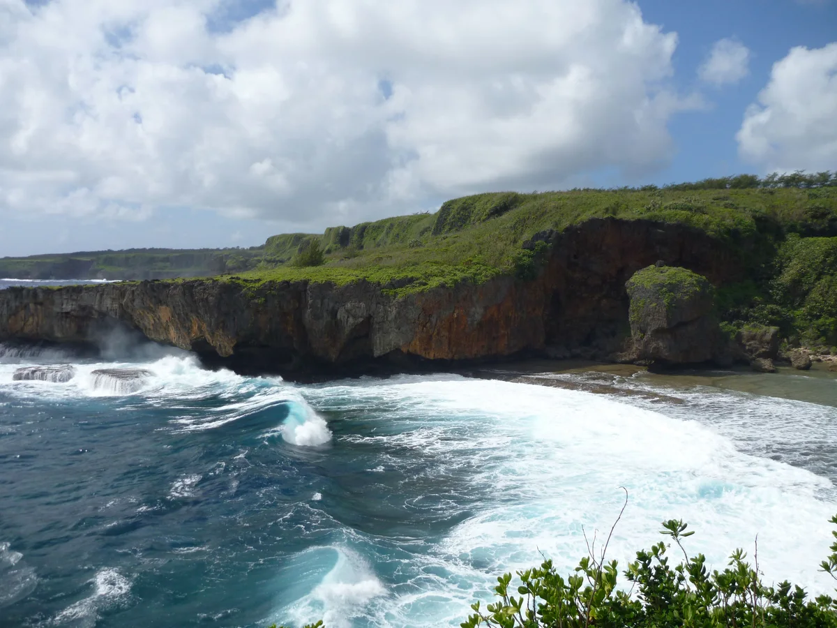
사진: Dan Muhs / U.S. Geological Survey (Public domain) 원본 출처 · 사진 출처
Jeffrey’s Beach, also called Talofofo Beach, is linked to the island’s stream-and-estuary landscape. The approach runs through vegetation beside the Talofofo stream, where wet-season flow changes the meeting of land and sea. The shoreline guide advises walking the approach rather than risking vehicles on muddy, narrow ground. MVA listed restored access in a June 2026 update, which is useful historical context but not a live opening notice. A visit suits people interested in coastal scenery and the transition from forest to shore. Plan around recent rain, and keep the return route and available daylight in mind.
접근 방법 Access from Route 36 along a forested track; roadside parking must be safe and legal. Walk rather than driving into mud or vegetation.
운영 시간, 요금, 현재 접근 가능 여부는 실시간으로 확인하지 않았습니다. 소요 시간은 편집진이 계획용으로 추정한 값입니다. 출처 검토일: 2026년 9월 29일.
CNMI DCRM shoreline guide, page 30
CNMI DCRM public access StoryMap — approximate location
MVA trail restoration update, June 24, 2026
Saipan is warm all year. The National Park Service describes December to June as the dry season and July to November as the rainy season, when typhoons are possible.
Partly. Transit CNMI runs one fixed bus route, 1B, between Northern Marianas College and Garapan, and a Call-A-Ride service you book in advance. The route does not go to most beaches and sights, so for those you need a rental car, a tour or a taxi.
Surf and rip currents are a real hazard, so check the National Weather Service's current advisories for the Marianas before you swim, snorkel or dive. Beach water is also tested for bacteria, and a red flag means do not swim or fish nearby.
Not in the named no-take areas: Managaha, Bird Island (including the Grotto) and Forbidden Island (including Tank Beach), where fishing, feeding fish and collecting shells, sand or coral are prohibited. Elsewhere, check the CNMI fishing rules before you fish.
섬의 같은 지역에 있는 다른 장소예요. 도로 경로는 달라질 수 있습니다.
A forest trail leads to an east-coast beach known for a weathered rock resembling a face. The reward is coastal geology and scenery rather than an assured swimming spot.
36번 도로 아래쪽에 석회암 절벽으로 둘러싸인 작은 포켓 비치로, 계단을 따라 내려갑니다. 해안 절벽과 개울이 바다로 흘러드는 지점이 있어 짧게 둘러보기 좋지만, 지면이 고르지 않고 상황이 수시로 달라질 수 있습니다.
사이판 동쪽 해안 절벽 사이에 자리한 해변 공원으로, 피크닉 공간과 가까운 거초가 있습니다. 해변에서 즐기는 휴식이 가장 확실한 매력이며, 수영은 날씨와 바다 상태에 따라 달라집니다.
 Nåpu에게 물어보기